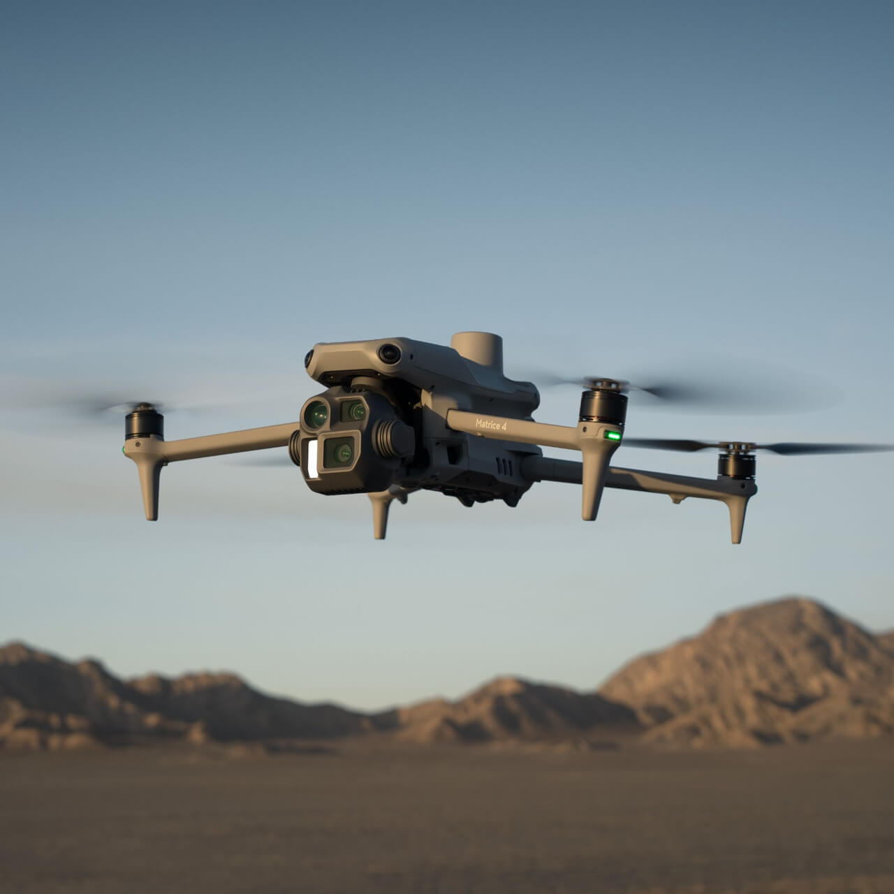
A new compact and intelligent multi-sensor flagship drone series for enterprise industries. Equipped with advanced features such as smart detection and measurement with a laser range finder. Flight operations are now safer, more reliable, and powered by AI.
Geospatial & Mapping
Thermal Imaging & Industrial Inspection
The Matrice 4 series introduces M4E for high-precision mapping and M4T for dedicated thermal sensing and emergency inspection and monitoring. Both feature top-tier portability.
Specifically designed to achieve absolute millimeter-grade accuracy without GCPs. The wide-angle camera is equipped with a 4/3 CMOS and mechanical shutter to prevent motion blur and rolling shutter effects during high-speed mapping tasks.
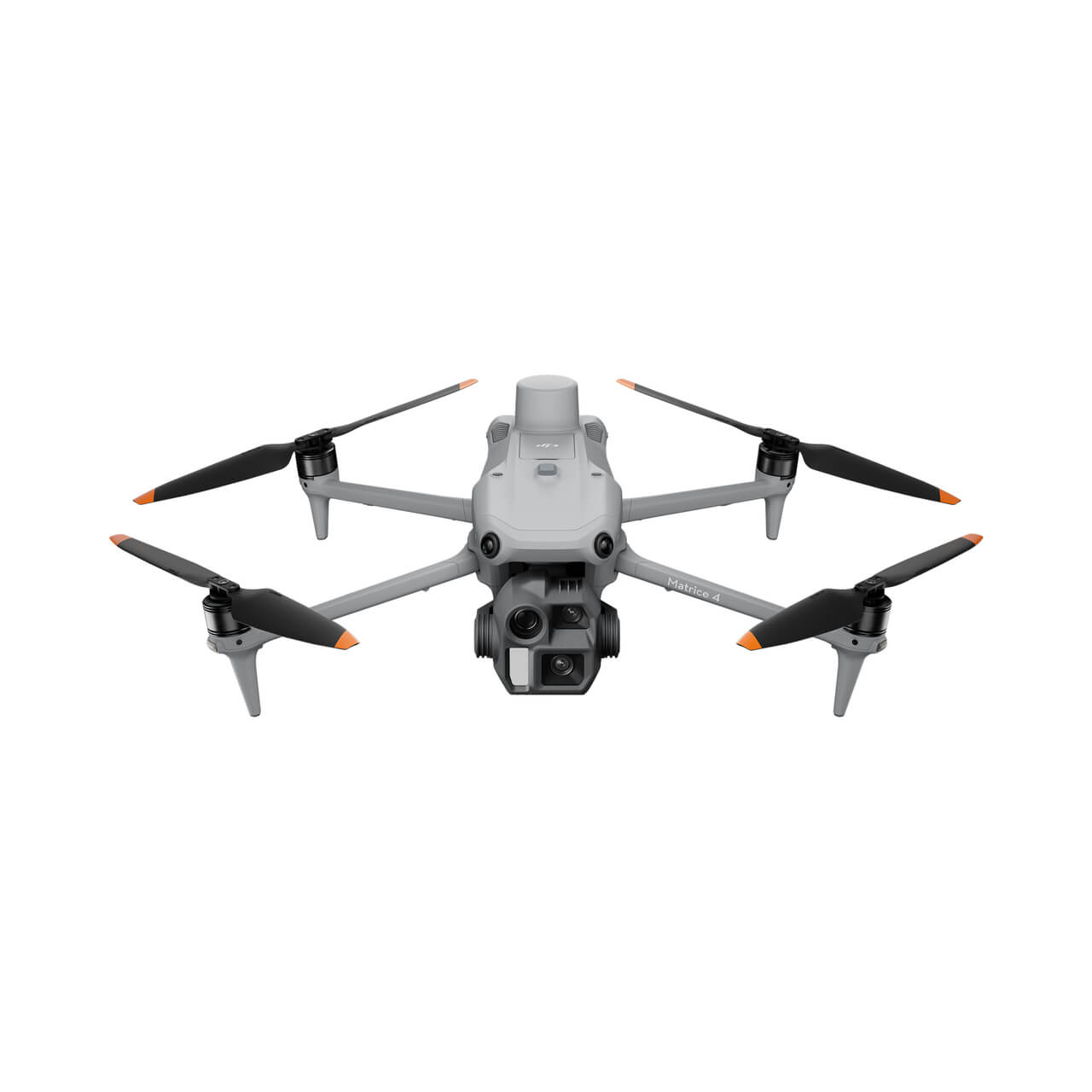
The definitive choice for firefighting, law enforcement, and night operations. The M4T features a 640×512 radiometric thermal camera alongside a 48MP zoom sensor to identify risks up to incredible distances.
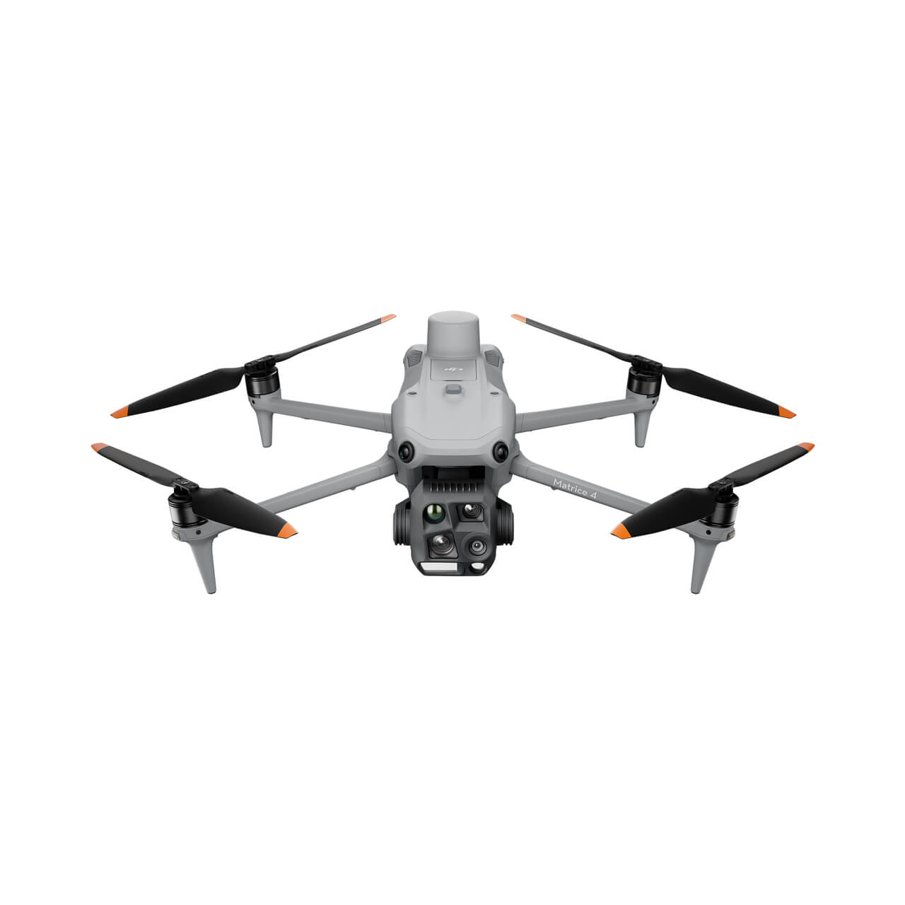
Achieve centimeter-level accuracy without GCPs, drastically reducing field time for topography, construction modeling, and volumetric calculations.
Conduct safe, rapid inspections of powerlines, wind turbines, and solar farms. High-resolution zoom and thermal capabilities pinpoint anomalies instantly.
Support industrial inspection teams with aerial intelligence. Night vision and thermal overlays provide asymmetric advantages in search and rescue.
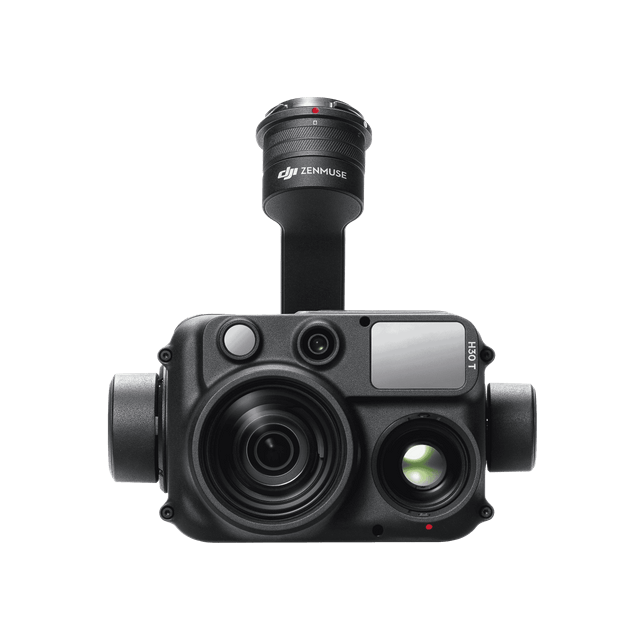
Integrate state-of-the-art LiDAR or multi-sensor optical payloads designed specifically for enterprise matrices.
Request Bundle Quote →Transform aerial data into digital assets. Includes 3D model reconstruction and mapping optimizations.
Include Software License →| Feature | Matrice 4E | Matrice 4T |
|---|---|---|
| Primary Sensor | 4/3 CMOS, 20MP Mechanical Shutter | 1/2" CMOS, 48MP Tele |
| Thermal Camera | N/A | 640×512@30fps Radiometric |
| Max Flight Time | 45 Min | 45 Min |
| Primary Use Case | Topographic Mapping, Surveying | Infrastructure Inspection, Thermal Imaging |
Fill out the form below to receive an enterprise quote for the Matrice 4 Series.
System logs your B2B inquiry and specs.
Account managers formulate a pricing proposal within 24 hours.
Fulfilled via compliant distribution logistics straight to your deployment zone.
The M4E integrates a mechanical shutter and an updated CMOS sensor to eliminate motion blur during high-speed mapping flights. Coupled with built-in RTK modules, it delivers centimeter-level topographic mapping without the need for ground control points (GCPs).
Yes, the M4T features an advanced high-resolution radiometric thermal camera capable of instantly pinpointing thermal anomalies across vast solar farms, severely reducing inspection timelines.
Absolutely. Designed for rapid response, the Matrice 4 Series boasts a foldable frame that fits easily inside a standard backpack, enabling single-operator deployment from case to air in under 60 seconds.

